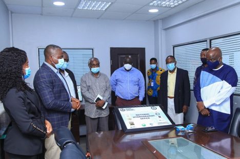
The Ghana Maritime Authority (GMA) is confident that Ghana’s maritime trade numbers will increase with consistent updates of its nautical chart by the National Hydrographic Office (NHO). Since the setting up of the NHO last year, the country has on a consistent basis been updating its nautical data to provide reliable information for vessels that ply Ghana’s waters.
A nautical chart is one of the most fundamental tools available for mariners to make decisions on how to navigate a vessel. It is a map that depicts configurations of the shoreline and seafloor. It provides water depths, locations of dangers to navigation, locations and characteristics of aids to navigation, anchorages and other features.
Speaking in an interview with the B&FT, head of the National Hydrographic Office, Marilyn Eghan, said the amalgamation of agencies to regularly provide information for updating the nautical chart is a great achievement that will propel the blue economy – adding that the confidence level of mariners in Ghana’s waters has shot up with establishing the office, and maritime trade figures are expected to shoot up in the coming years.
“If they (vessels) think that your marine data is outdated they will be more cautious about coming. For those who come to your country regularly, there is a route that they stick to; but there could be a shorter route they can explore, which can only be known if you have your data updated regularly,” she explained.
She noted that the data gives confidence to the shipping industry, which takes safety and efficiency very serious in their operations. “The benefits are cascading, causing a ripple-effect in the industry; so when you get that basic information in there, it is an enabler for economic growth,” she said.
She further explained that the nautical chart has provided the nation with relevant information on extractive sectors of the economy and possible minerals which can be mined. “There are a lot of minerals in the sea that we may not have known about but for the National Hydrographic Office. The office compiles information and updates the nation on the riches it has in the sea as well.
“With this data, we are able to also engage in better negotiations with firms that want to engage in offshore oil and gas activities. Sometimes, their activities can focus on other things in the sea apart from the oil and gas – but if you do not have data, you may not be able to engage in contracts that would help the nation get the needed benefit,” she intimated.
The Ghana Hydrographic Office’s establishment is a requirement of the International Hydrographic Organisation (IHO), of which Ghana is a member. The IHO is an inter-governmental technical organisation that coordinates the activities of national hydrographic offices and sets standards to promote uniformity in nautical charts and documents.
The NHO, among other functions, collates and process all hydrographic information for the production of charts and dissemination of maritime safety information from member organisations: such as the Ghana Ports and Harbours Authority (GPHA), the Volta River Authority (VRA), the Ghana National Petroleum Corporation (GNPC), Petroleum Commission, Fisheries Commission, Lands Commission, Environmental Protection Agency, University of Ghana and the Regional Maritime Authority.
It also issues international best practices and provides guidelines to maximise the use of hydrographic information from geospatial data, bathymetry, safety of navigation, oil exploration and drilling rigs and many more.
In 2019, Parliament ratified the Convention on the International Hydrographic Organisation (IHO).


